About This Trail
The profile is essentially flat — 82% of the 2.3 miles sits under a 1% grade, for 45 ft of total gain. The main climb starts around mile 1.2 and runs 0.19 miles, gaining 45 ft at an average 4.5%.
Trail data © OpenStreetMap contributors, available under the Open Database License. Contributed by volunteers and not verified by GoalRival — it may be incomplete or out of date. Background reading: this trail on Wikipedia.
Background
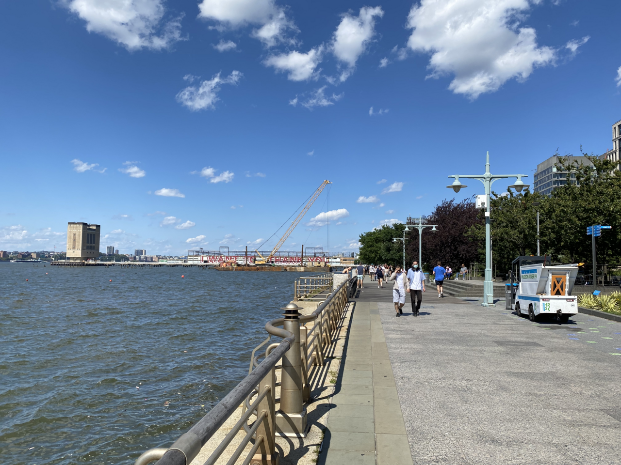
The Manhattan Waterfront Greenway is a waterfront greenway for walking or cycling, 32 miles (51 km) long, around the island of Manhattan in New York City. The largest portions are operated by the New York City Department of Parks and Recreation. It is separated from motor traffic, and many sections also separate pedestrians from cyclists. There are three principal parts — the East, Harlem and Hudson River greenways.
Text from Wikipedia, available under CC BY-SA 4.0.
How It Compares
At 2.3 miles it is longer than 91% of the 523 trails mapped in New York City.
It is flatter than 81% of trails in New York City.
Surface Breakdown
Reviews & Comments
No reviews yet. Be the first.